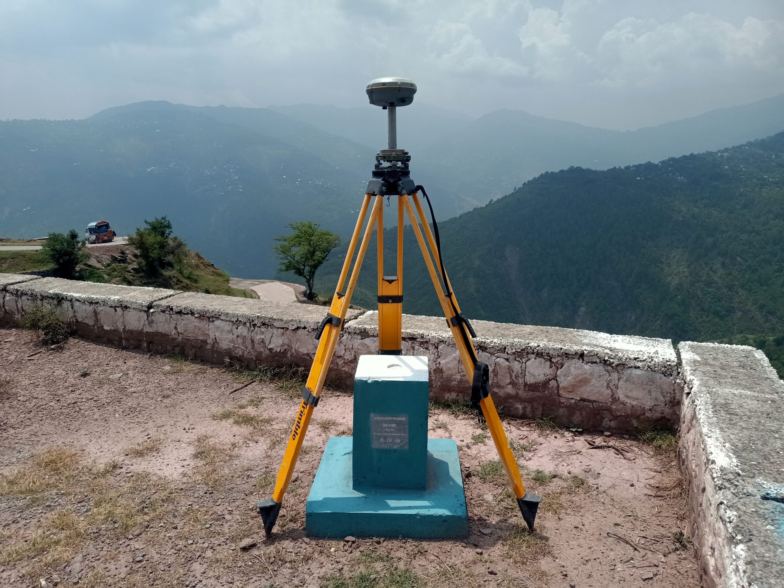
Where Every Coordinate Counts
We establish, maintain and verify the national geodetic control framework that ensures all mapping and spatial data in Pakistan align precisely. With rigorous standards and modern surveying technology, we provide the foundational accuracy that empowers development, security and governance. From coordinates to cadastral boundaries, our position-accuracy services underpin every trusted map, model and spatial decision