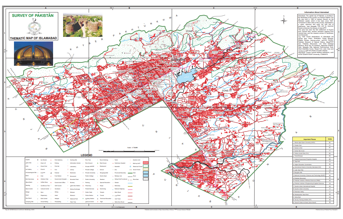
The nation’s trusted source of geographic information
Net positioning
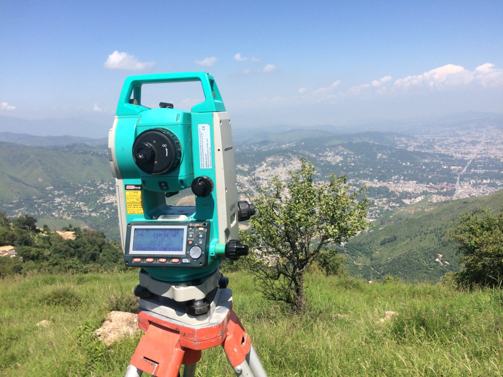
Net Positioning is our highly accurate and resilient network of Global Navigation Satellite System (GNSS) base stations across Pakistan
Our surveyors use real-time corrections derived from the SoP Net network to accurately survey map features using the latest GNSS technology. Net-based real-time positioning services are available to other surveyors via our commercial partners
Why is net positioning important?
Net positioning is a critical component of the infrastructure for realizing our national coordinate systems in Great Britain. The national coordinate systems we use are ETRS89, SOP GB36 National Grid and Survey Datum Newlyn (ODN)
It makes the accurate determination of these national standard coordinates much easier and more efficient for land surveyors, compared to traditional (pre-GNSS) surveying methods. It is now possible to determine precise ETRS89 coordinates for your GNSS control stations with a single GNSS receiver, without ever leaving the survey site
These coordinates can be instantly and precisely transformed to SOPGB36, National Grid and ODN height coordinates. Therefore, a greater range of mapping, engineering and environmental projects can now use precise national coordinates than was ever possible
Agriculture
Net data supports ultra-precise positioning of farm machinery, improving crop yields and efficiency through more accurate seed sowing, fertiliser distribution and pest control
Construction
Enhanced safety, fuel efficiency and accuracy of work is built on the precision of Net data, used to position and control heavy machinery on construction sites
Drones and UAVs
Unlock high accuracy and enhanced performance for drone operations with SoP Net data, ensuring centimetre-level precision for surveying, mapping and autonomous navigation
Surveying
Surveying for land monitoring, building and setting out is faster and more efficient when based on Net data, with no need for a base station or an additional pair of hands
Asset Management
OS Net data provides precise positioning of critical assets for utilities, telecoms and transport network companies, critical for making routine maintenance, emergency repairs and planning as efficient as possible
Street level image correction
Achieve unmatched accuracy in the creation of 3D imagery with Net data, delivering precise, georeferenced data for superior mapping, analysis and decision making
Access GNSS data
Net RINEX data
Recorded Net data is freely available in standard RINEX (v3) format. Hourly files at 30 second rate
The accuracy of our data
Learn about the accuracy of Net station coordinates and the OSTN15/OSGM15 transformation models
GNSS and Net positioning questions and answers
Find out answers to questions about Global Navigation Satellite Systems (GNSS) and SoP Net
Our expert partners can help you
NDMA
From NDMA
NHA
From NHA
FWO
From FWO
Suparco
From Suparco
Talk to us
If have a commercial enquiry about SoP Net, click below to get in contact