Data products
Products
Go to
Our Data hub
Search for product
License Requirements
Services
Our Services
Customers
Customers
About
News & Briefs
News & Events
hello world!
Search
Menu
Close
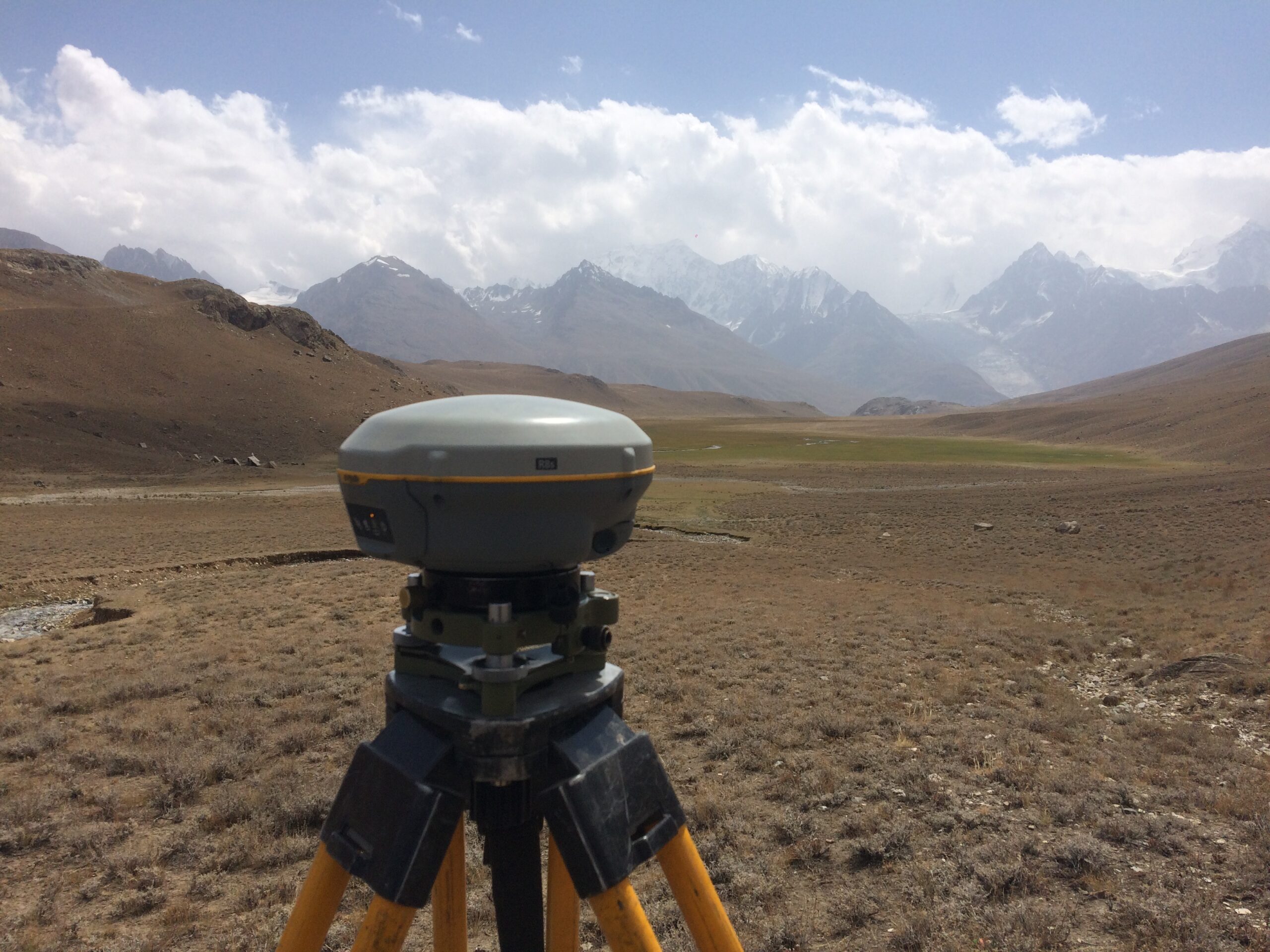
Geodesy is the science of measuring and understanding the size, shape and orientation of the Earth. At Survey of Pakistan, geodesy forms the foundation of all national mapping, surveying and geospatial activities. It provides the essential reference framework needed for accurate positioning, navigation and spatial data integration across the country
Survey of Pakistan’s geodetic and positioning infrastructure includes:
A network of continuously operating reference stations (CORS) that realizes Pakistan’s national geodetic reference frame, aligned with the International Terrestrial Reference Frame (ITRF)
Provision of GNSS observations, corrections and products to support precise positioning and integration with the national reference system
Enabling the conversion of legacy survey data into the modern geodetic reference frame for consistency across all mapping and GIS datasets
A network of permanent ground marks (horizontal and vertical) that defines reference datums used in mapping, engineering and land management
A height reference surface developed to provide accurate conversion between GNSS-derived ellipsoidal heights and orthometric heights, ensuring compatibility with national height datums