The Nation’s Trusted Source of Geographic Information
Choose the data that's right for you
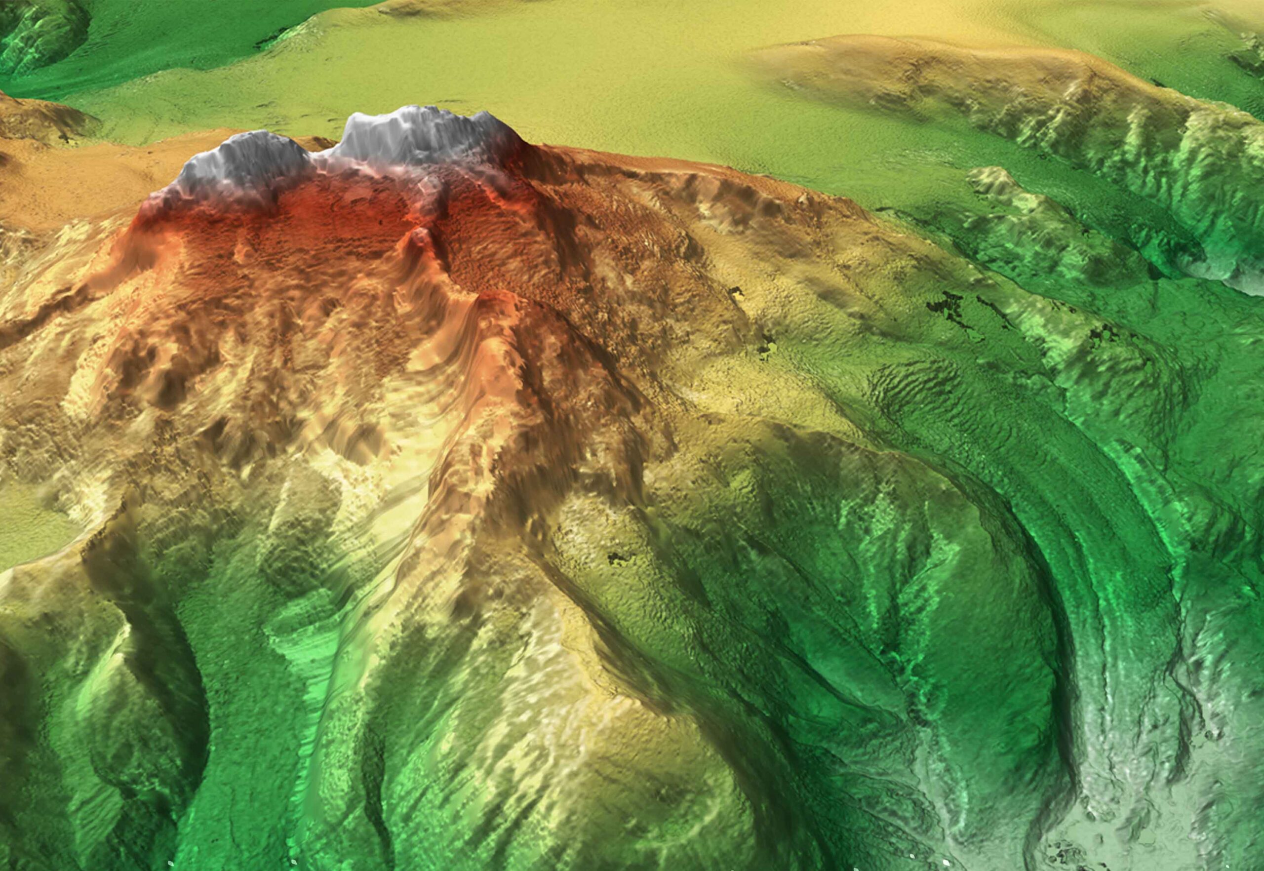
As the official custodian of the country’s geodetic and spatial framework, SoP ensures that Pakistan has access to accurate, standardized, and authoritative geographic information that supports governance, development, defense and public needs
Our identifiers connect different datasets, allowing seamless integration, analysis, and visualization of geographic information across government and private sectors
Helping disaster management and provincial governments plan flood response, evacuation routes and relief operations
Urban Development
Supporting city administrations with accurate mapping for master planning, infrastructure and zoning
Communication Expansion
Assisting telecom providers with reliable mapping data for network rollout and 5G readiness
Data plans and pricing
Choose a subscription plan that's right for you and your organisation
OpenData Plan
Public data is available to public, private departments/organizations, researchers, students and businesses to encourage innovation and knowledge sharing
Premium Plan
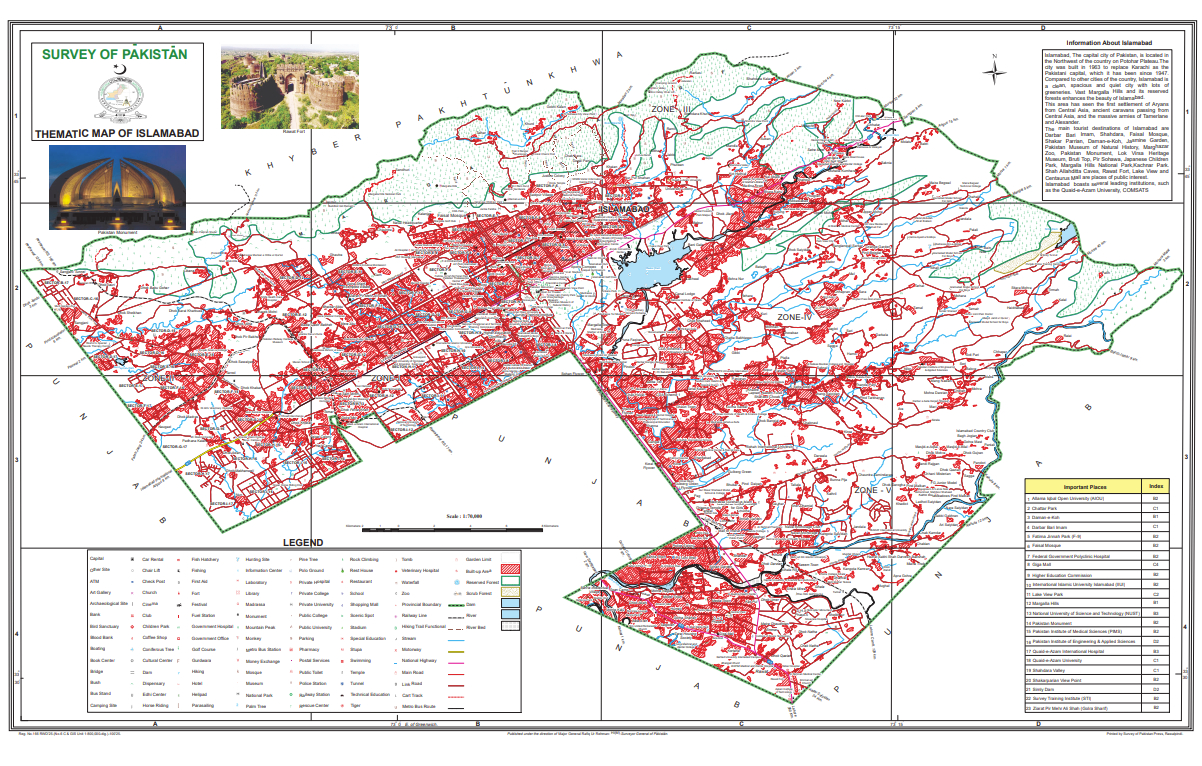
We provides a range of services in conventional and multimedia digital surveying, mapping cartography, preparing high-quality maps including topographic maps, thematic maps and guide maps in any projection and coordinate system
Public Sector Plan
Exclusive access to integrated open and premium datasets for government ministries, departments and public sector projects
Get started with our data
With thousands of updates made to our geospatial databases every day, we ensure an accurate, authoritative and continuously updated data source through the National Geospatial Hub