We provide easy access to our products, professional services and registration platforms for surveyors, GIS firms and public users
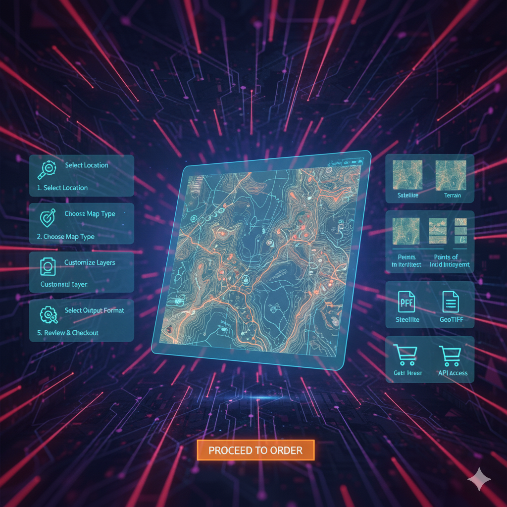
Order Products
Access official maps, digital data and geospatial products including topographic maps, aerial imagery and DEMs
Request Services
Request professional surveying, mapping or GIS services offered by the Survey of Pakistan. Our experts handle data collection, spatial analysis and geodetic network services