Data Support Hub
Browse documentation and tutorials to help you get started with our data.
Data Hub Documentation
Browse product overviews, technical specifications and step-by-step instructions
Data Support Hub
Follow structured tutorials and answers to common questions to integrate our data into your projects successfully
API Tutorials
Learn how to use our APIs to develop applications and embed interactive maps into your platforms. Explore real-world use cases and practical implementation methods
Product Refresh Dates
Stay informed about update cycles for Survey of Pakistan’s core datasets, including topographic maps, geodetic data and administrative boundaries
Visit product refresh datesNational Spatial Data Infrastructure (NSDI)
Unifying Pakistan’s geospatial data to drive digital governance, sustainable development and national security
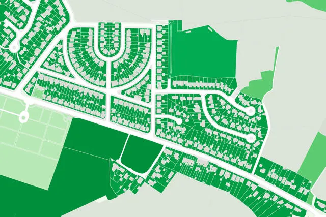
The Central Spatial Data Hub
The Central Spatial Data Hub serves as the backbone of NSDI, providing a national platform where spatial datasets are collected, stored and organized
Data Sharing System
The Data Sharing System provides the rules and protocols that allow smooth exchange of information between organizations
Premium data Support
Technical support for OS premium data products.
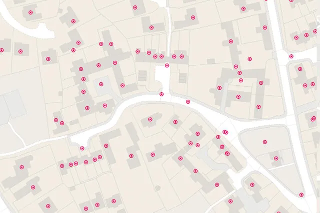
AddressBase
Find support for products in the AddressBase family
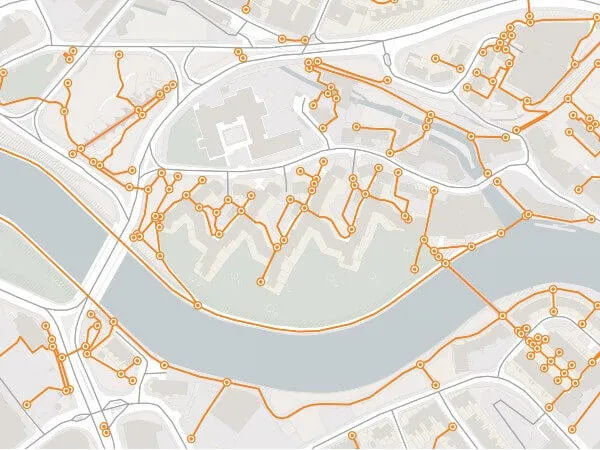
Code-Point support
Find support for Code-Point products.
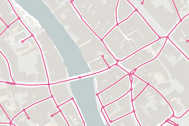
MasterMap support
Find support for products in the AddressBase family
Data questions and answers
Read answers to questions we are frequently asked about OS OpenData
How do I use OpenData?
OpenData is licensed under the Open Government Licence, which allows you to use the OpenData datasets in any way and for any purpose. OpenData is licensed under the Open Government Licence, which allows you to use the OpenData datasets in any way and for any purpose
Can't find what you need?
If you can't find the data product support you're looking for, get in touch today
Contact us