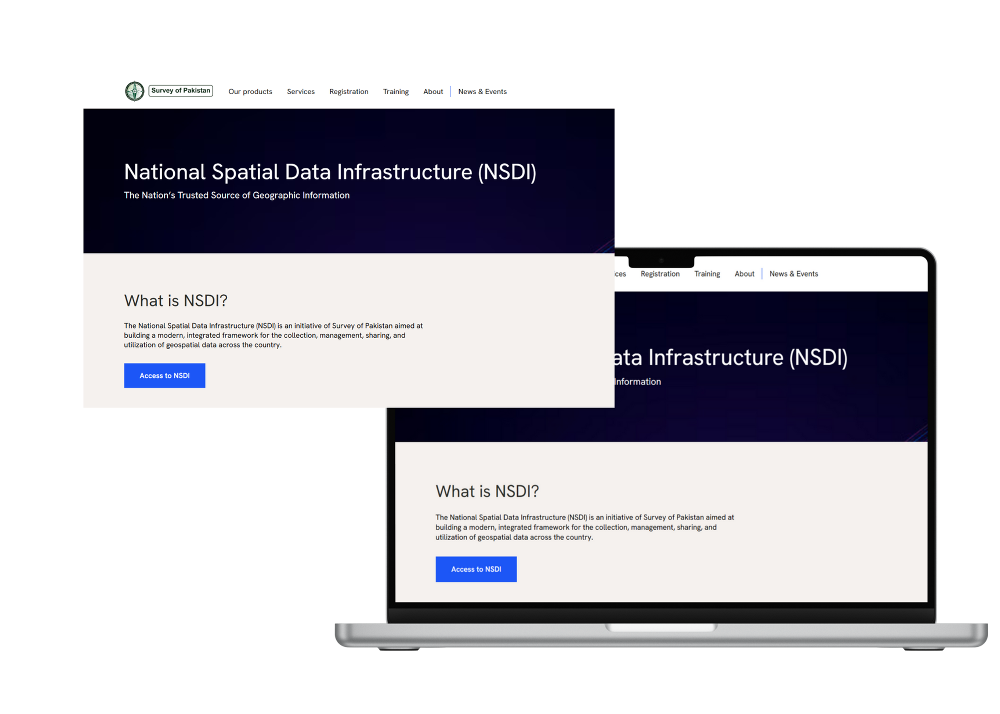
National Spatial Data Infrastructure (NSDI)

The Nation’s Trusted Source of Geographic Information

NSDI

The National Spatial Data Infrastructure (NSDI) is an initiative of Survey of Pakistan aimed at building a modern, integrated framework for the collection, management, sharing and utilization of geospatial data across the country
Access to NSDI
Vision
The vision of NSDI is to create a geospatially enabled Pakistan, where spatial data is considered a national asset and used as a foundation for digital governance, sustainable development and national security
Explore NSDI

Objective

NSDI centralizes and standardizes spatial data to improve accessibility, strengthen governance and support Pakistan’s planning, development and disaster management
Access to NSDI

Key Feature

At its core, NSDI offers a national geospatial clearinghouse, metadata standards, interoperability for data exchange and a secure governance framework. Its geo-portal allows users to easily search, view and access spatial data
Access to NSDI
NSDI – Unifying Pakistan’s geospatial data to drive digital governance, sustainable development and national security.

Role of Survey of Pakistan in NSDI

As the National Mapping Organization, we are the custodian and lead agency for NSDI. The organization works closely with federal, provincial and local departments to ensure collaboration, integration and effective data sharing across institutions. It is responsible for establishing geospatial standards, formulating policies and maintaining the quality, accuracy and security of national datasets.

In addition, Survey of Pakistan designs, manages, and continuously upgrades the NSDI geo-portal, providing a reliable platform for accessing spatial data. The organization also plays a key role in fostering partnerships with stakeholders at both national and international levels, ensuring that Pakistan’s geospatial infrastructure keeps pace with global practices and technological advancements
Discoverable data
Developing consistent policies, protocols, and standards for geospatial data.
Easy access
Creating a centralized hub to consolidate spatial data from multiple sources.
Up-to-date
Providing easy and secure access to spatial datasets for stakeholders.
Improved connectivity
Enhancing technical skills and infrastructure for geospatial data management.

Why NSDI Matters?

NSDI improves resource management by providing accurate spatial information for efficient use of natural and man-made assets. It strengthens disaster preparedness through better risk assessment, early warning and response.
By supporting evidence-based governance, it helps policymakers make informed decisions for national development. NSDI also drives economic growth by empowering key industries with spatial intelligence, while serving academia, researchers and citizens through open access to trusted geospatial data.
Access to NSDI
Essential Features
The Central Spatial Data Hub
The Central Spatial Data Hub serves as the backbone of NSDI, providing a national platform where spatial datasets are collected, stored and organized.
Metadata standards
Metadata standards ensure that every dataset is properly documented and easy to discover. 
Data Sharing System
The Data Sharing System provides the rules and protocols that allow smooth exchange of information between organizations

Quick Links

Government

Contact Us

Follow Us

Website Stats

2025 Â© Survey of Pakistan
Main Faizabad, Murree Road, Rawalpindi
Top
laptop-phonecrossmenuchevron-down