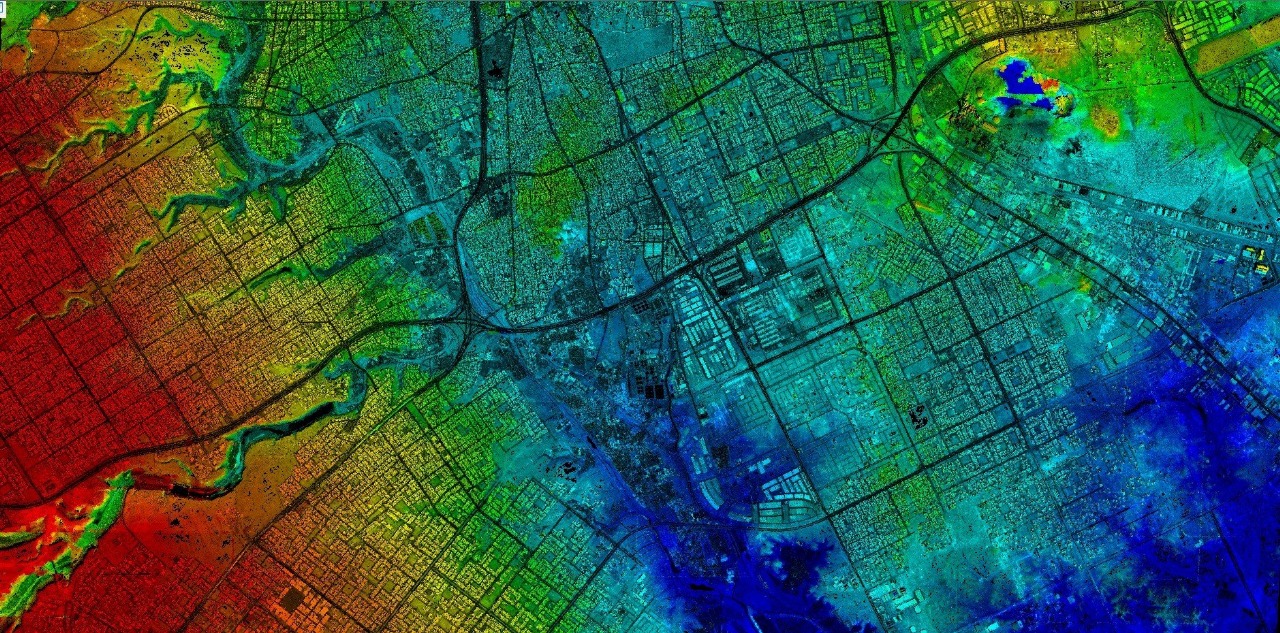
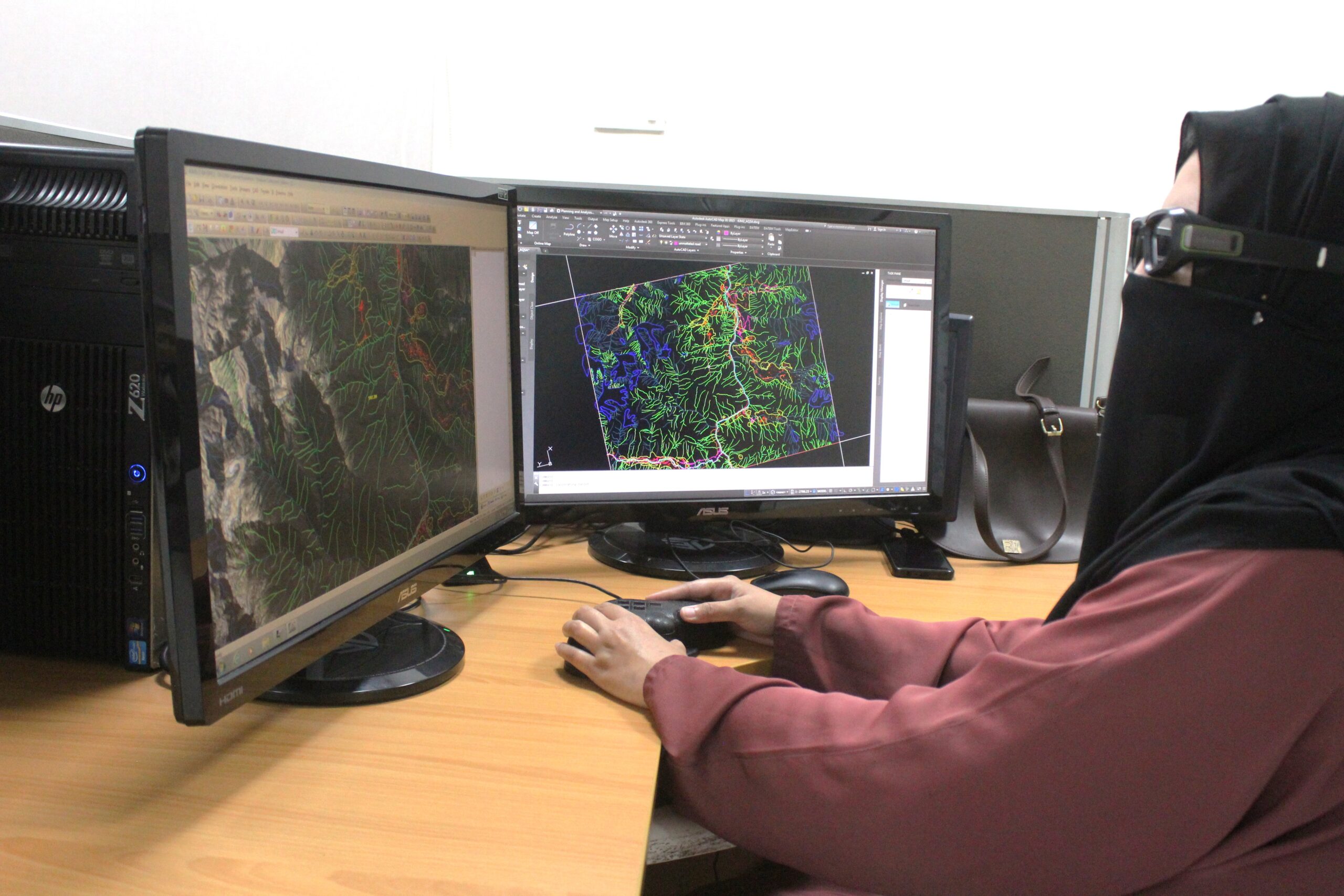
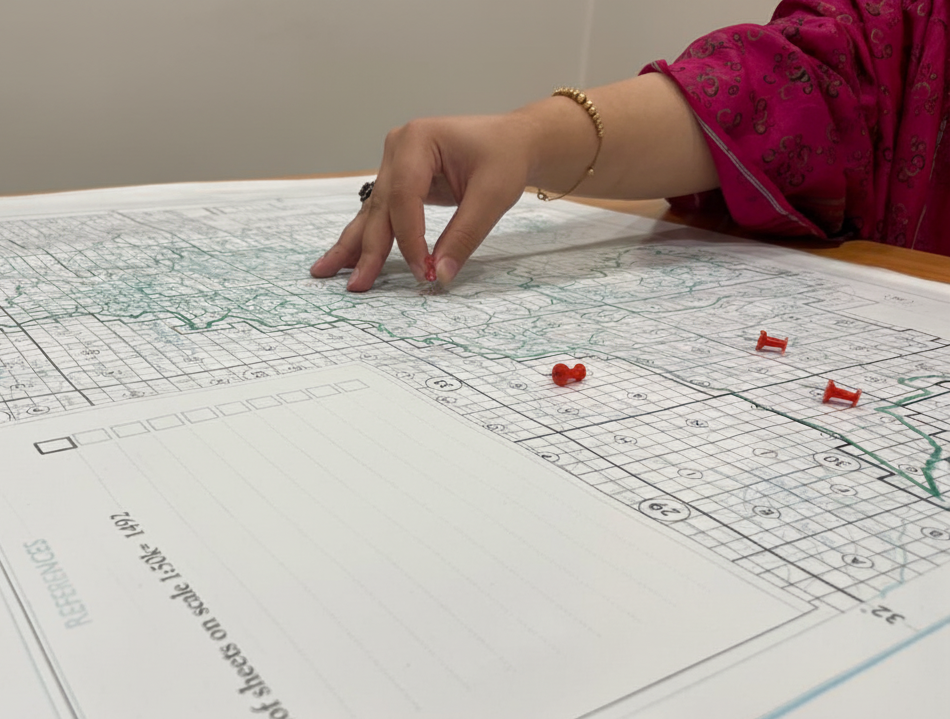
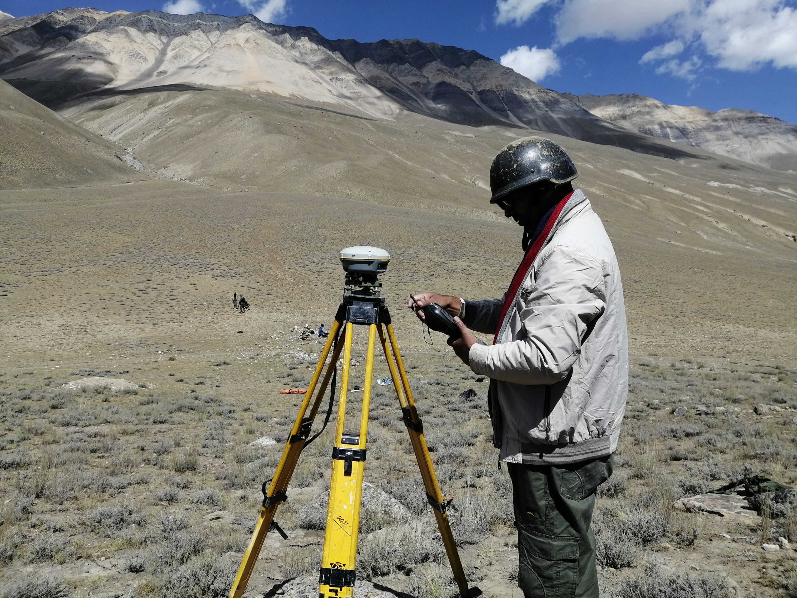
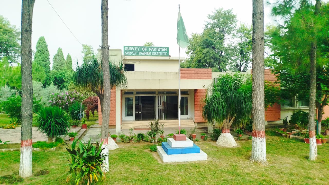
Survey of Pakistan (SoP) is Pakistan’s national survey & mapping organization providing accurate geospatial data for planning, development & security of the Nation. We are actively contributing to national development projects by meeting the growing surveying and mapping needs of government/semi-government/autonomous bodies, public and private sectors

Maps for guidance

Explore our varied paper maps
Maps

Products you want

Explore our full range of products
All Products

Having a legacy of surveying and mapping spanning more than 250 years, we are transitioning to the era of digital geospatial data

We provide services in conventional and digital cartography, preparing high-quality maps
We supply geospatial and projected coordinates according to user needs
We offer services to collect, develop and deliver geospatial data
We use aerial and satellite imagery to create accurate maps and digital models
We manage the National Geodetic Network which provides precise coordinate reference points across the country
We provide technical training up to diploma level in surveying and mapping at our Survey Training Institute

Quick Links

Government

Contact Us

Follow Us

Website Stats

2025 Survey of Pakistan
Main Faizabad, Murree Road, Rawalpindi
Top
crossmenuchevron-down